- Address
- 289 Concession Line 1, Wheatley, ON N0P 2P0, Canada
- Length:
- 673 metres
- Width:
- 2.4 metres
- Surface:
- Crusherdust
- Running Slope:
- 2%
- Cross Slope:
- 1%
Trail Description:
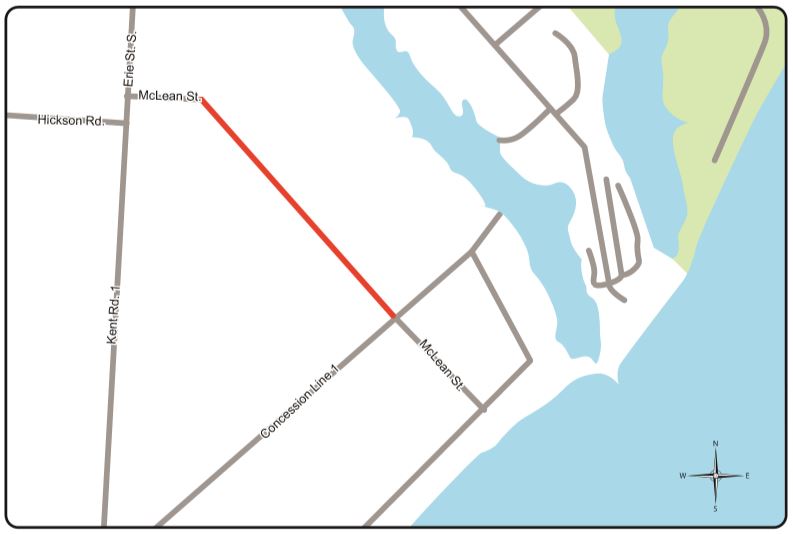
This trail is located at the end of McLean Road where a road right-of-way traverses farm fields. The trail connects the end of McLean Road by Erie Street south to McLean Road by 1st Concession Line, providing residents and visitors a safer, off road alternative.
- No Washrooms
- No Parking
- Pets
- cycling
- running
- walking


